Cloud Identification Goes with Dichotomous Key Created by Dr.
21 Slides254.57 KB
Cloud Identification Goes with Dichotomous Key Created by Dr. Tina Cartwright, Marshall University
Stratocumulus
Stratocumulus A stratocumulus cloud belongs to a genus-type of clouds characterized by large dark , rounded masses, usually in groups, lines, or waves, the individual elements being larger than those in altocumulus, and the whole being at a lower altitude, usually below 2,400 meters (8,000 ft).[1] Weak convective currents create shallow cloud layers because of drier, stable air above preventing continued vertical development.
Cirrostratus
Cirrostratus Cirrostratus /ˌsɪroʊˈstrɑːtəs/ is a high, very thin, generally uniform stratiform genus-type of cloud, composed of ice-crystals. It is difficult to detect and is capable of forming halos when the cloud takes the form of thin cirrostratusnebulosus.
Cumulonimbus
Cumulonimbus Cumulonimbus, from the Latin cumulus ("heap") and nimbus ("rainstorm", "storm cloud"), is a dense towering vertical cloud[1] associated with thunderstorms and atmospheric instability, forming from water vapor carried by powerful upward air currents. If observed during a storm, these clouds may be referred to as thunderheads. Cumulonimbus can form alone, in clusters, or along cold front squall lines. These clouds are capable of producing lightning and other dangerous severe weather, such as tornadoes. Cumulonimbus progress from overdeveloped cumulus congestus clouds and may further develop as part of a supercell.
Altostratus
Altostratus Altostratus is a middle altitude cloud genus belonging to the stratiform physical category characterized by a generally uniform gray to bluish-green and sheet or layer.[3] It is lighter in color than nimbostratus and darker than high cirrostratus. The sun can be seen through thin altostratus, but thicker layers can be quite opaque. Altostratus is formed by the lifting of a large mostly stable air mass that causes invisible water vapor to condense into cloud. It can produce light precipitation, often in the form of virga. If the precipitation increases in persistence and intensity, the altostratus cloud may thicken into nimbostratus.[2] Altostratus most often takes the form of a featureless sheet of cloud but can be wavy (undulatus) as a result of wind shear through the cloud. It can also be fragmented (fibratus) with clear sky visible, which often signals the approach of a weakened or upper level warm front
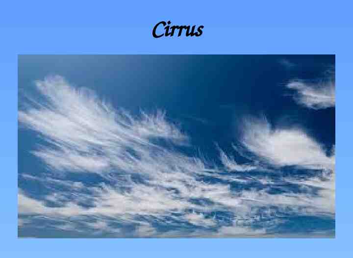
Cirrus
Cirrus Cirrus Clouds thin and wispy. The most common form of high-level clouds are thin and often wispycirrus clouds. Typically found at heights greater than 20,000 feet (6,000 meters), cirrus clouds are composed of ice crystals that originate from the freezing of supercooled water droplets.
Nimbostratus
Nimbostratus Nimbostratus are dark , low-level clouds accompanied by light to moderately falling precipitation. Low clouds are primarily composed of water droplets since their bases generally lie below 6,500 feet (2,000 meters).
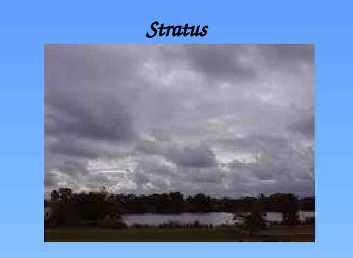
Stratus
Cumulus
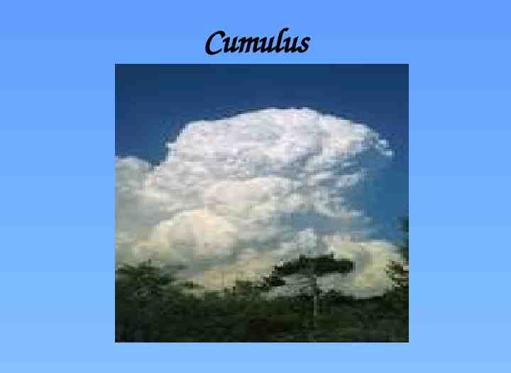
Cumulus Cumulus clouds are puffy clouds that sometimes look like pieces of floating cotton. The base of each cloud is often flat and may be only 1000 meters (3300 feet) above the ground. The top of the cloud has rounded towers.
Stratus Stratus clouds mean rain if it is warm and snow if it is cold. They look like a huge gray blanket that hangs low in the sky. Sometimes stratus clouds are on the ground or very near the ground, and then we call them fog. Usually stratus clouds and fog form when it has been cold out and then warmer, wet air blows in
Cirrocumulus
Cirrocumulus Cirrocumulus are usually white, but sometimes appear gray. They are the same size or smaller than the width of your littlest finger when you hold up your hand at arm's length. When these clouds cover a lot of the sky, they can look like the scales of a fish, which is it is called a "mackerel sky.”
Altocumulus
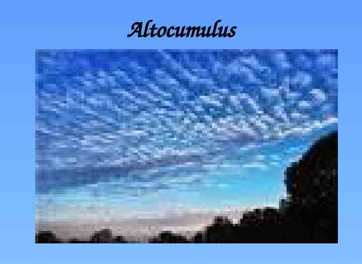
Altocumulus Altocumulus (From Latin Altus, "high", cumulus, "heaped")[1] is a middle-altitude cloud genus that belongs mainly to thestratocumuliform physical category characterized by globular masses or rolls in layers or patches, the individual elements being larger and darker than those of cirrocumulus and smaller than those of stratocumulus.[2] However, if the layers become tufted in appearance due to increased airmass instability, then the altocumulus clouds become more purely cumuliform in structure. Like other cumuliform and stratocumuliform clouds, altocumulus signifies convection. A sheet of partially conjoined altocumulus perlucidus is sometimes found preceding a weakening warm front, where the altostratus is starting to fragment, resulting in patches of altocumulus perlucidus between the areas of altostratus. Altocumulus is also commonly found between the warm and cold fronts in a depression, although this is often hidden by lower clouds.


